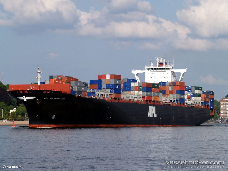
Msc-Antonia
IMO: 9398216
Container Ship, Liberia
Photos
Vessel Details
MMSI
636018660
Callsign
D5QT7
Width
40.0 m
Length
304.0 m
Reviews (1)
Jacob
2025-01-11
Position: Chief Officer
Advantages:
Looking for information about this vessel. Has anyone worked on this vessel? Was the crew alright?
Disadvantages:
No personal experience yet, just gathering info.
Latest News (4)
Insurance company Gard called to increase preparedness and technical upgrade of ships regarding GPS jamming and spoofing
After analysing a series of incidents, involving the grounding of the 'MSC Antonia', the Norwegian marine insurance company Gard has called on shipping companies to increase preparedness and technical upgrade of ships regarding GPS jamming and spoofing, to which also the 'MSC Antonia' was exposed, causing it to running onto the Eliza Shoals west of Jeddah. The analysis documents GPS disruptions in 2025 in, among others, the Red Sea, the Persian Gulf and the Israeli coast, and map data from Gard shows that an increasing number of global conflict zones have been affected this year.The recent incidents in the world's conflict zones were highlighting the very real and immediate dangers posed by compromised global navigation satellite systems. Disruptions can lead to ships arriving outside their arrival window or losing access to berths, resulting in commercial losses and potential disputes.One ship during a total GPS disruption used ECDIS's estimated position function (EP, ed.), which estimates the ship's location based on previous movements. The ship ended up grounding on a coral reef at high speed, over 40 nautical miles from its actual position. In another case from 2025, a ship was prevented from sailing from a port in the Red Sea when its GPS signal showed a location deep in the Sahara Desert. The disruption lasted for over a week, causing significant delays and a contractual dispute between the ship’s owner and charterer. Another analysis by Windward in May found that the average distance that vessels “jump” to when their AIS is blocked has increased dramatically from 600 km in Q4 2024 to 6,300 km in Q1 2025. Gard therefore encouraged operators to install secondary satellite receivers and train crews in how to handle navigation anomalies. Gard recommended that ships have clear procedures for when a voyage should be completed or aborted in the event of GPS disruption, and that shipping companies invest in technical solutions such as anti-spoofing equipment and alternative navigation systems.
Container ship remains aground off Jeddah
Ten days after running aground, the 'MSC Antonia' remains aground near the Eliza Shoals west of Jeddah. Satellite images from Pole Star Global were showing the vessel resting on a reef. Despite being listed as grounded, the ship appears on various vessel tracking sites, not just on the opposite side of the Red Sea but often far inland, along with other ships due to increased GPS spoofing . VesselFinder has the ship on Airport Road, south of Port Sudan, myShipTracking has it a few km further inland, while MarineTraffic’s location of the stricken ship places it – and a host of other vessels – 250 kilometres from the nearest shoreline in the Nubian Desert, the eastern region of the Sahara Desert. The maritime security specialist Ambrey has observed growing GPS interference in conflict zones with a constant disruption of the signal over an area, increasing navigational risk to shipping. Report with photos: https://splash247.com/grounded-msc-ship-appears-in-the-sahara/
Container ship ran aground off Jeddah due to suspected GPS spoofing
The 'MSC Antonia', en route from Marsaxlokk to Jeddah, ran aground on the Eliza Shoals in pos. 19° 23' N 039° 56' E in the Red Sea approximately 100 nautical miles west of Jeddah on May 10, 2025. GPS spoofing has been suspected to be the cause of the deviation. The UK Maritime Trade Operations (UKMTO) had posted a warning on May 9 regarding incidents of multiple vessels experiencing electronic interference and disruptions while sailing in the Red Sea around the areas of Jeddah, Saudi Arabia, and Port Sudan. They warned it was affecting navigation systems and requiring vessels to rely on backup methods. Accordingly, the track of the 'MSC Antonia' on AIS appeared to be highly erratic, likely due to the GPS interference. Sudan. The container ship remained stuck as of May 14 with a list to port side. Tugs were called to refloat it. Marine claims specialists warned of a likely general average and the salvage operations creating additional financial implications for cargo owners. Reports with photos and video: https://www.marinepublic.com/blogs/distress/952883-maritime-gps-spoofing-msc-antonia-grounding-cyber-threats https://www.marineinsight.com/shipping-news/msc-container-ship-stranded-in-red-sea-after-suspected-gps-spoofing/ https://www.transport-online.nl/84635/containerschip-msc-antonia-vastgelopen-in-rode-zee-mogelijk-door-gps-jamming-video https://www.youtube.com/shorts/tiyBW08y3-E?embeds_referring_euri=https%3A%2F%2Fassafinaonline.com%2F&source_ve_path=MjM4NTE/ https://www.instagram.com/reel/DJoVgAgScAh/
SAMSA trying to identify ship which lost pharmaceutical bottles
Work to identify a vessel responsible for pharmaceutical bottles washing ashore along the South African east coast from Gqeberha through to nearby north eastern towns on the Indian Ocean coastline, was actively being investigated by the South African Maritime Safety Authority (SAMSA). For identification, analysis and safe disposal of the pharmaceutical products SAMSA said it was working through an Incident Management Systems (IMS) committee involving among others, the Department of Forestry, Fisheries and Environment, South African Police Service (SAPS), Eastern Cape Disaster Management and the South African Health Regulatory Authority (SAHPRA). At South Africa’s Sunshine Coast medicinal products were collected enmasse over the past week, after several cargo vessels traversing this part of the Indian Ocean, lost collectively close on 200 containers within about eight weeks since July 2024 from the 'CMA CGM Benjamin Franklin', 'CMA CGM Belem', 'Maersk Stepnica', 'Rio Grande Express' and 'MSC Antonia'. Iin addition to tracking down the specific vessel on which the consignment of pharmaceutical produces might have fallen from, the SAMSA was also closely monitoring the coastline in collaboration with local authorities to track any further containers or goods that might wash ashore. The SAMSA was aware of the container that washed ashore on the East Coast near Port St Johns and has been informed of pharmaceutical bottles containing pills that have been washing ashore in the Port Alfred, Kenton, Cannon Rocks, and Boknes areas since Sep 9. Efforts were underway to monitor and address any hazards that may arise. SAMSA was currently working to identify the vessel responsible for the pharmaceutical bottles washing ashore. The owners of the vessels were fully cooperating with SAMSA and other relevant authorities and have committed to undertaking clean-up operations along the coastline should any contamination or further cargo loss occur. Report with photos: https://blog.samsa.org.za/2024/09/12/mop-up-underway-of-containers-and-pharmaceutical-bottles-found-on-the-south-african-eastern-coastline-samsa/
Frequently Asked Questions
⚙️ Did Msc-Antonia have any engine problems?
Based on available news reports, Msc-Antonia has been mentioned in connection with engine-related incidents. There have been 1 news reports mentioning engine problems. For detailed information about specific incidents, please refer to the latest news section above.
🛢️ Did Msc-Antonia have any oil spills or pollution incidents?
Based on available news reports, Msc-Antonia has been mentioned in connection with spill-related incidents. There have been 1 news reports mentioning spills. For detailed information about specific incidents, please refer to the latest news section above.